Oregon Coast part III

Driftwood on one of the hundreds of miles of coastline
Umpqua River Bridge, Oregon Coast Hwy near Reedsport

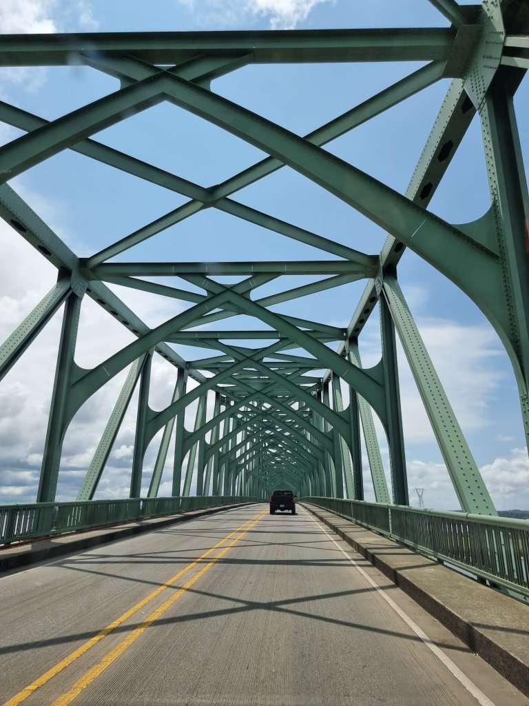
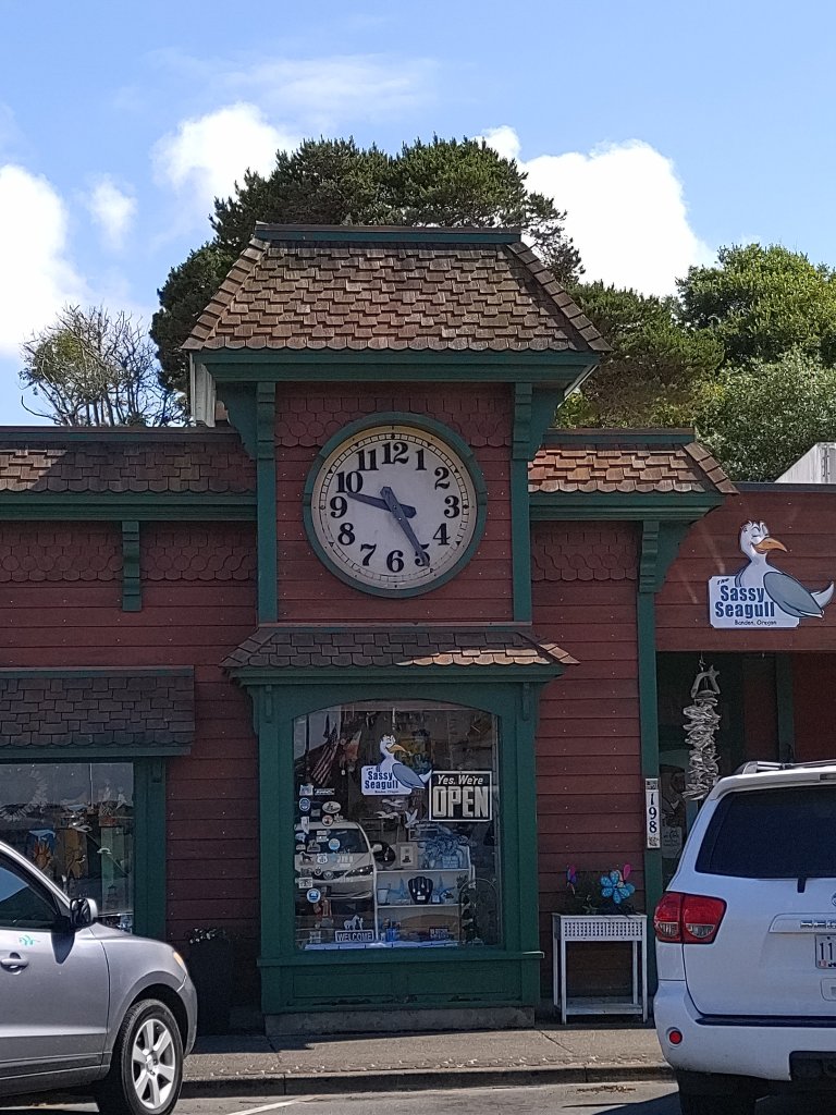
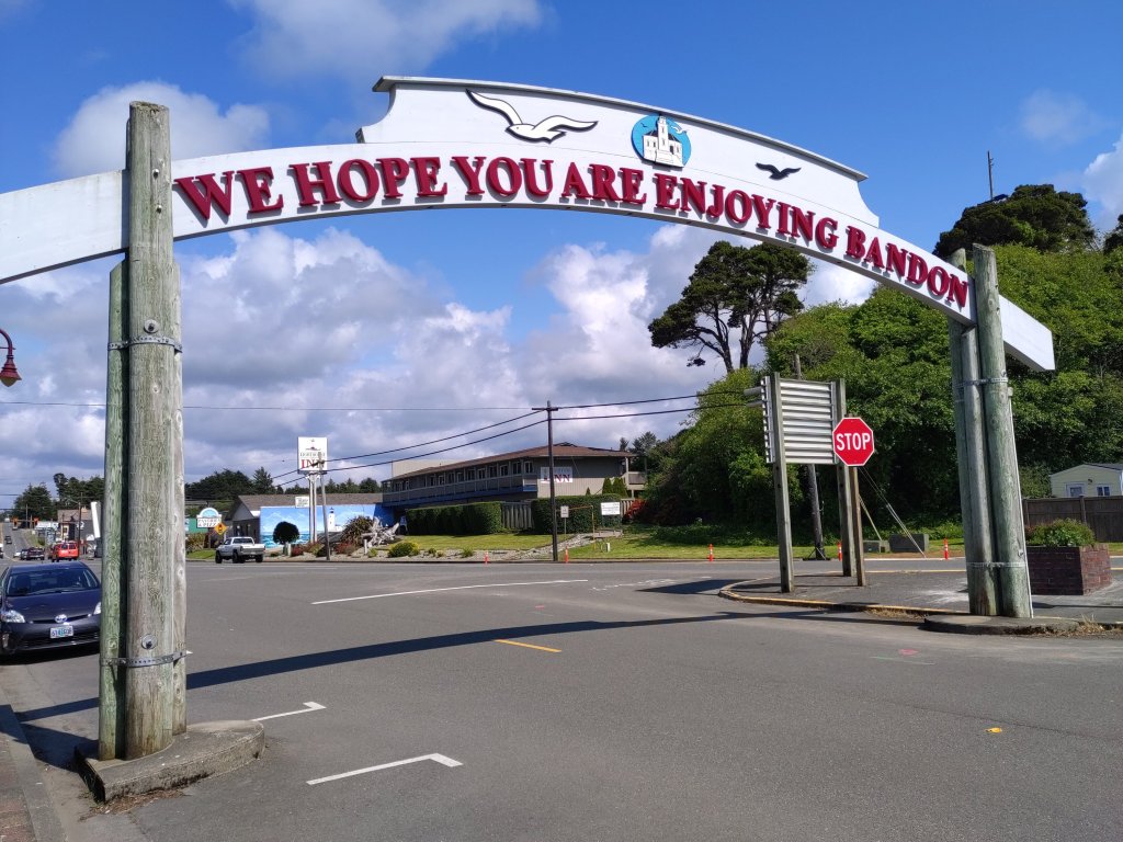
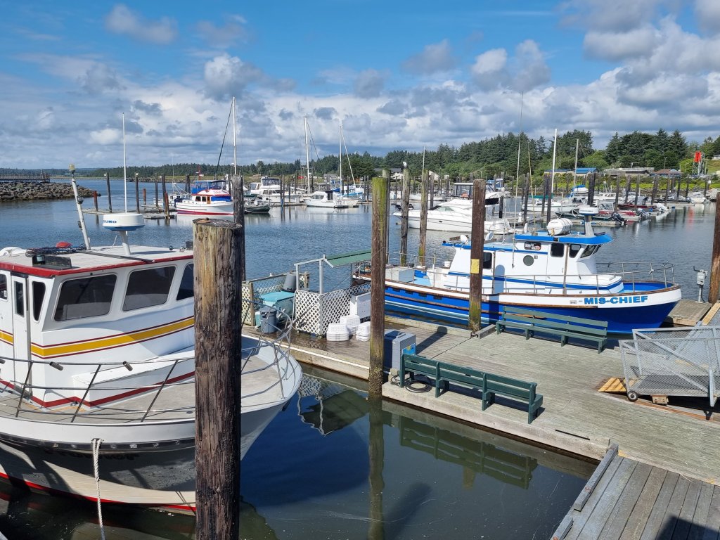
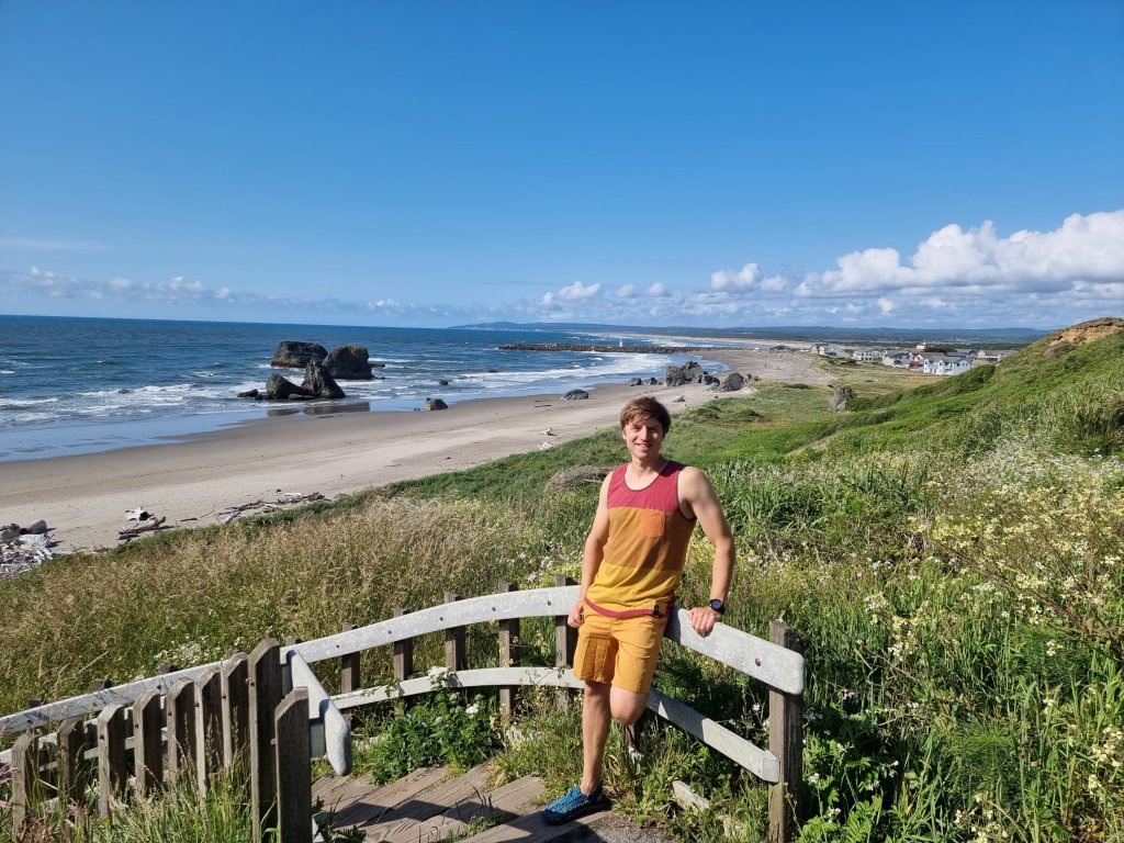
Heading south, stopping in a lovely little fishing 🎣 town called Bandon on the way.

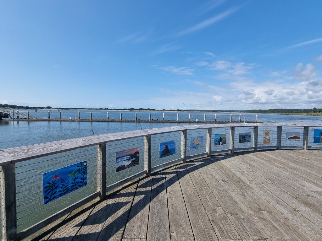
Art project of the local school in Bandon: 12-16-year-olds exhibit their artwork. 👍

🤣

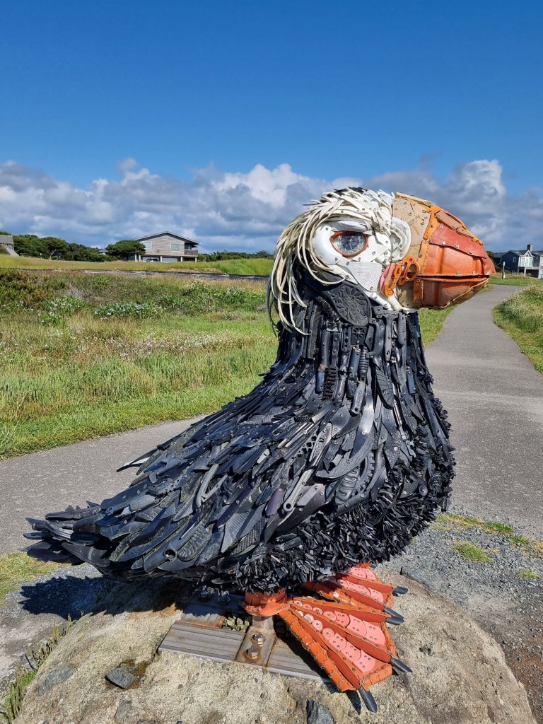
This tufted puffin was designed by local artist Angela Haseltine Pozzi and consists entirely of marine debris that had been washed ashore on nearby beaches and collected by volunteers. Nothing has been dyed or coloured, all pieces were used as found.

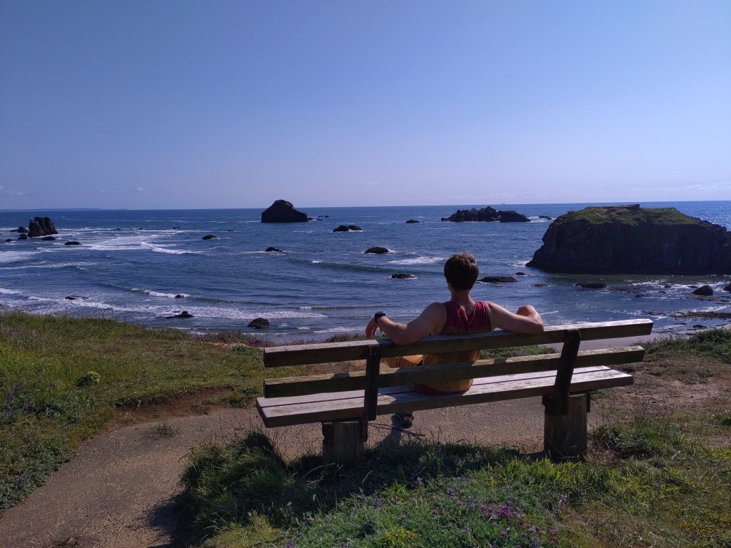
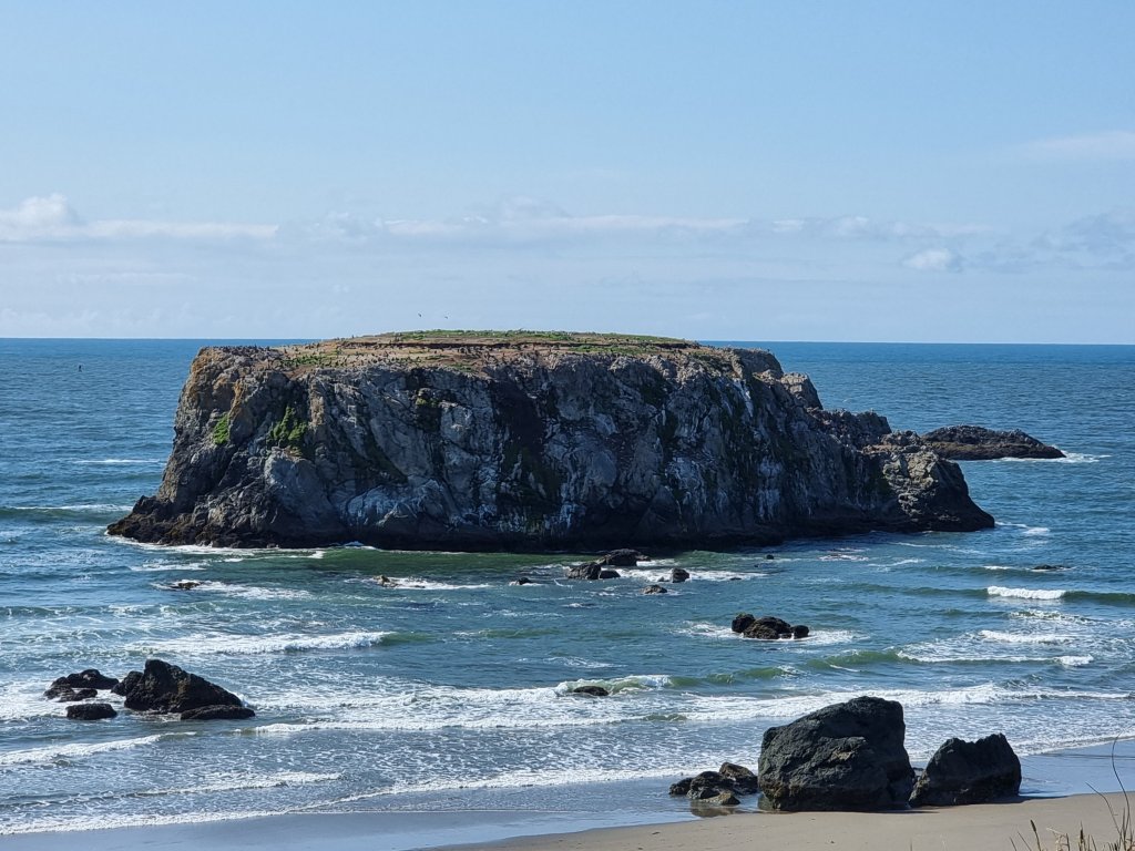
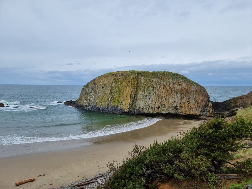
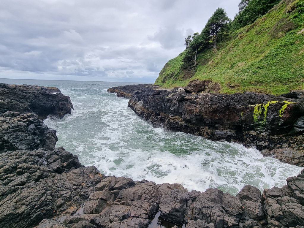
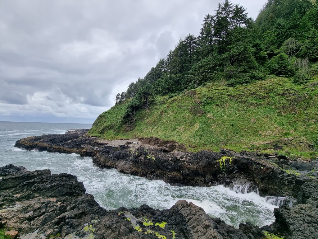
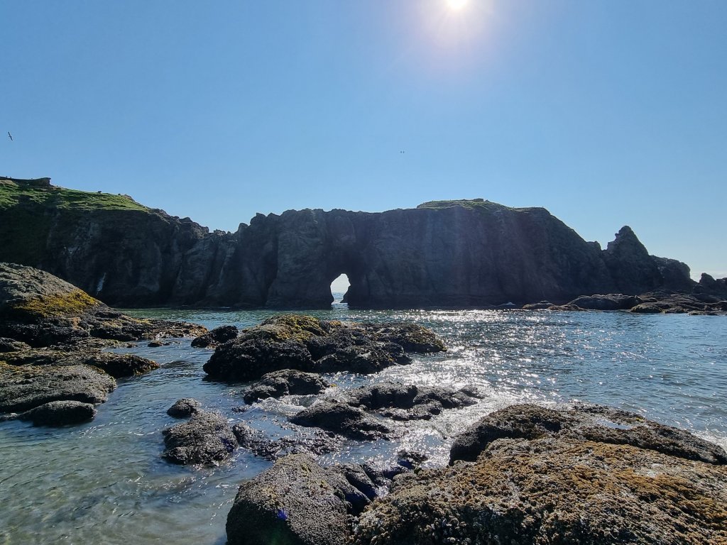
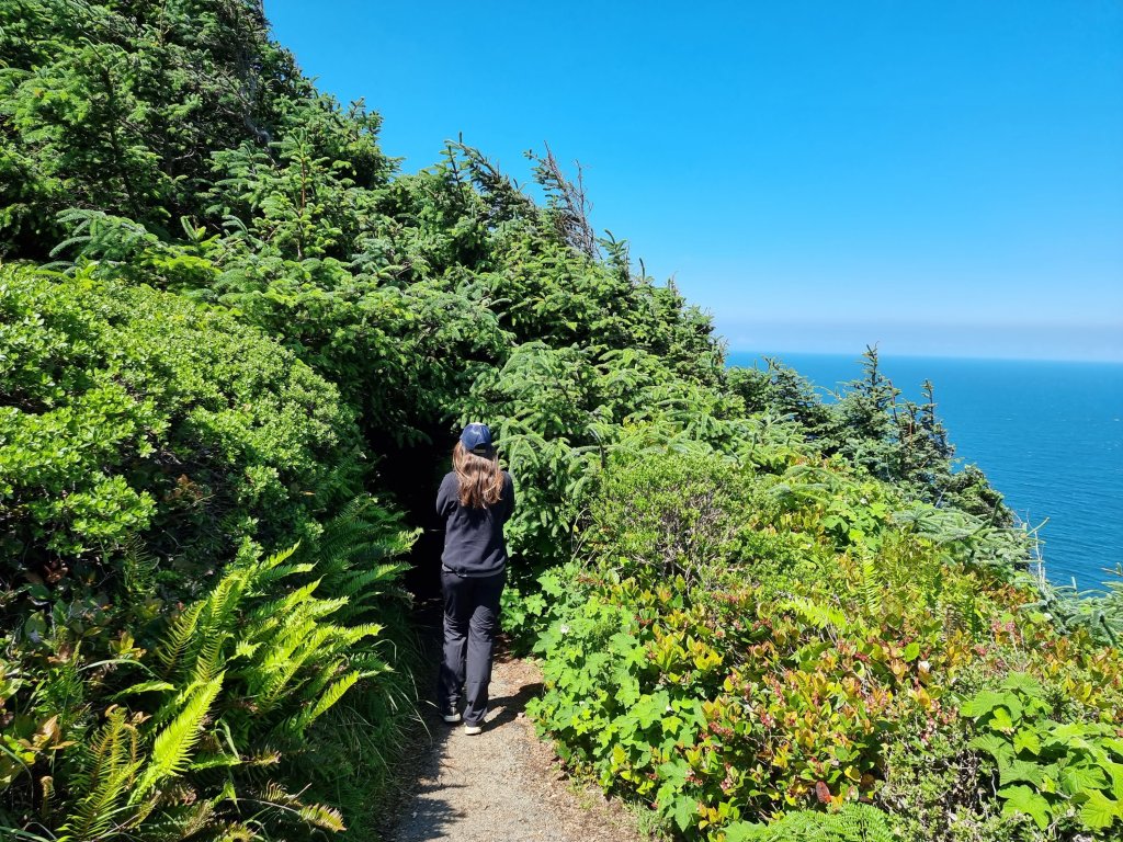
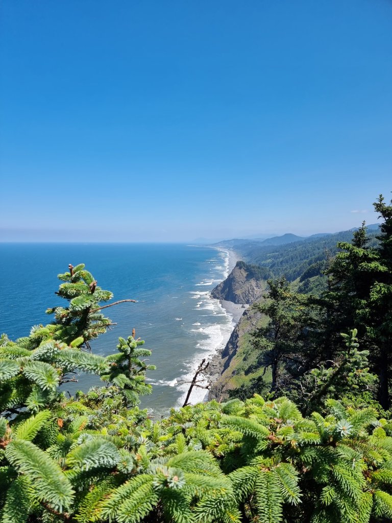
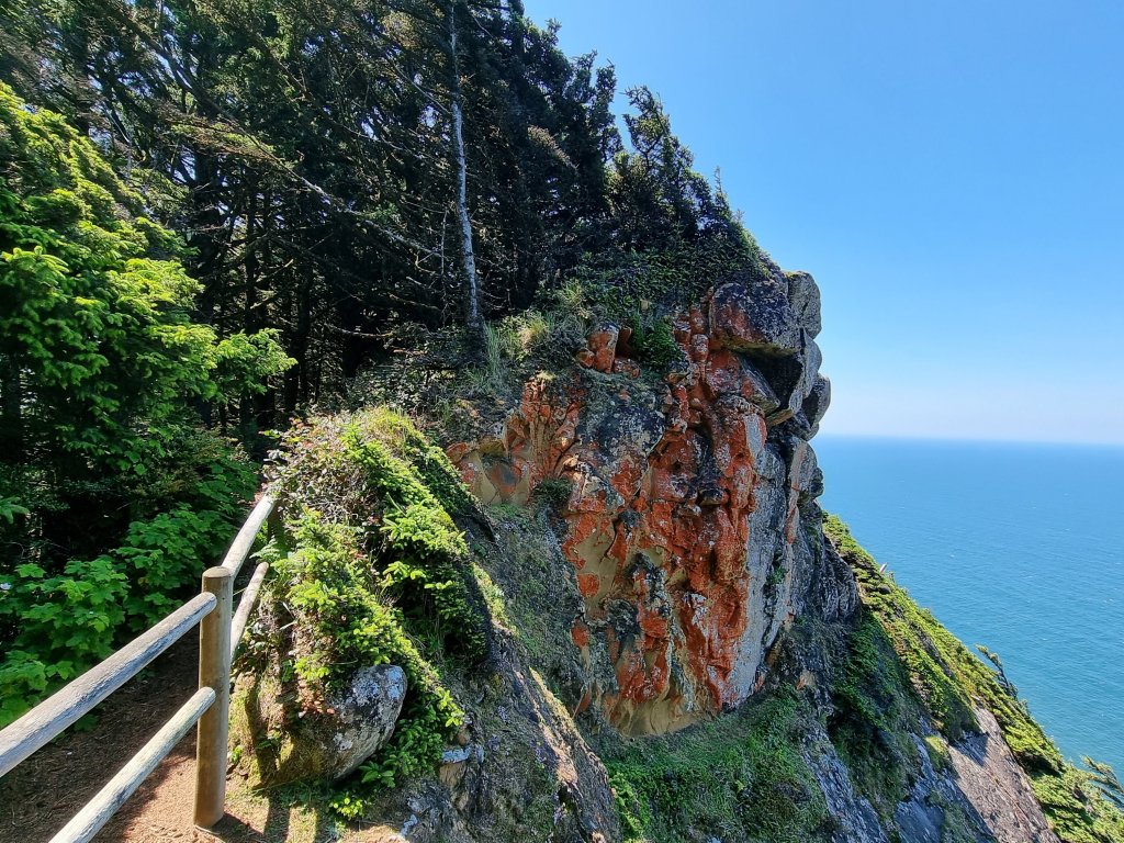
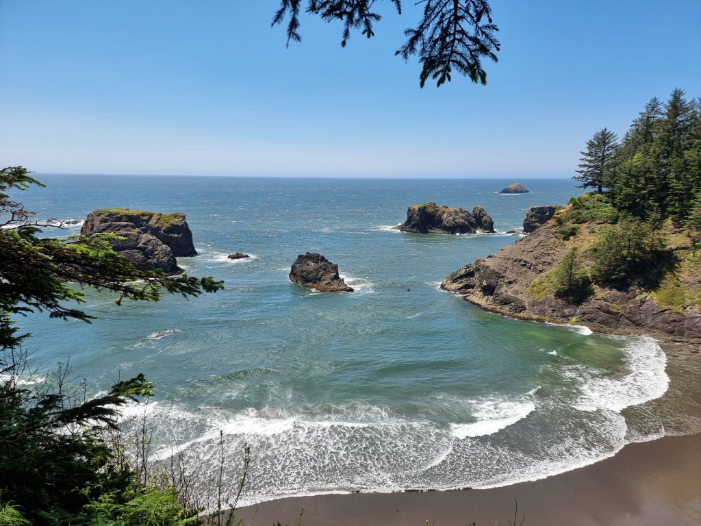
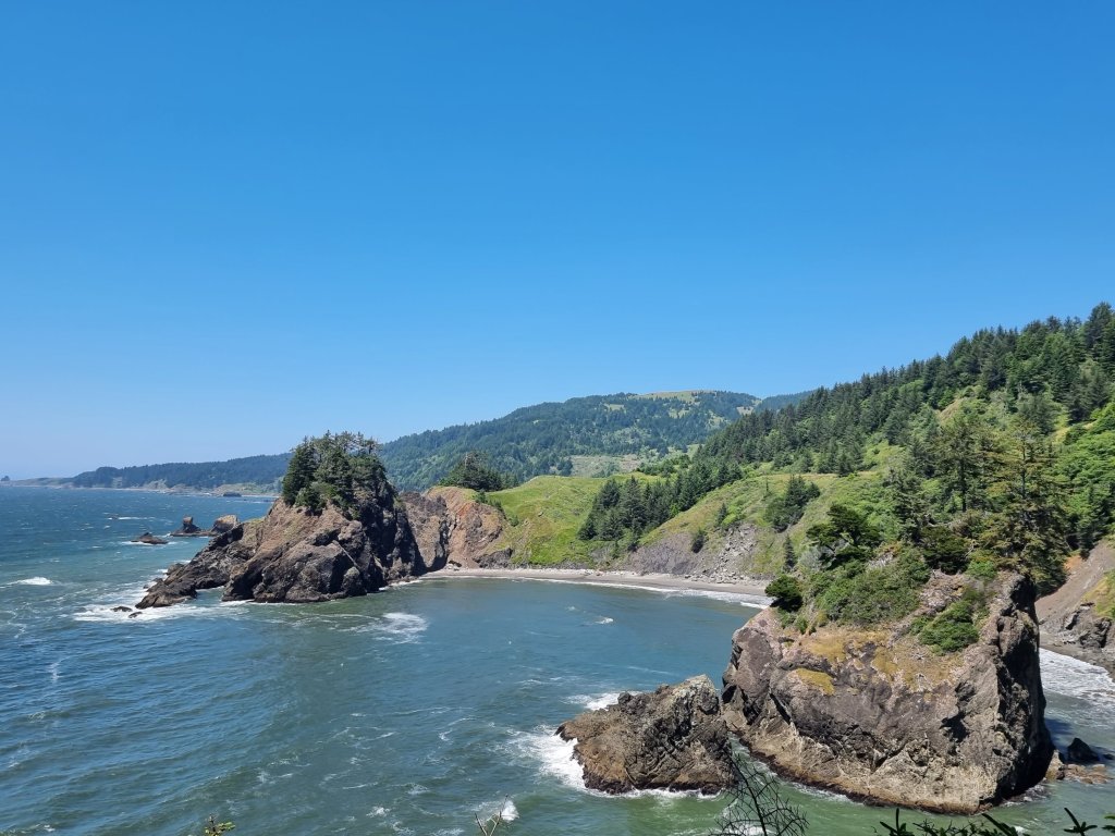
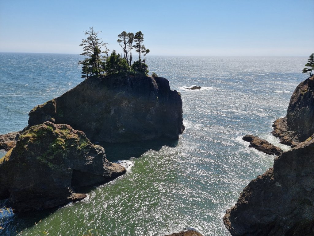
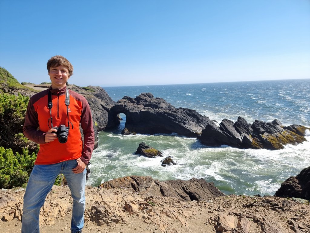
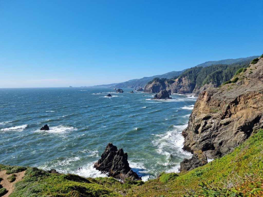
There are nearly 2000 of these small islands and rocks along the coastline and they are truly magical areas. These picturesque sea stacks and small islands are a visual delight for sightseers and photographers, but they are also fascinating natural environments.

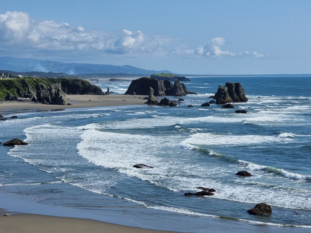
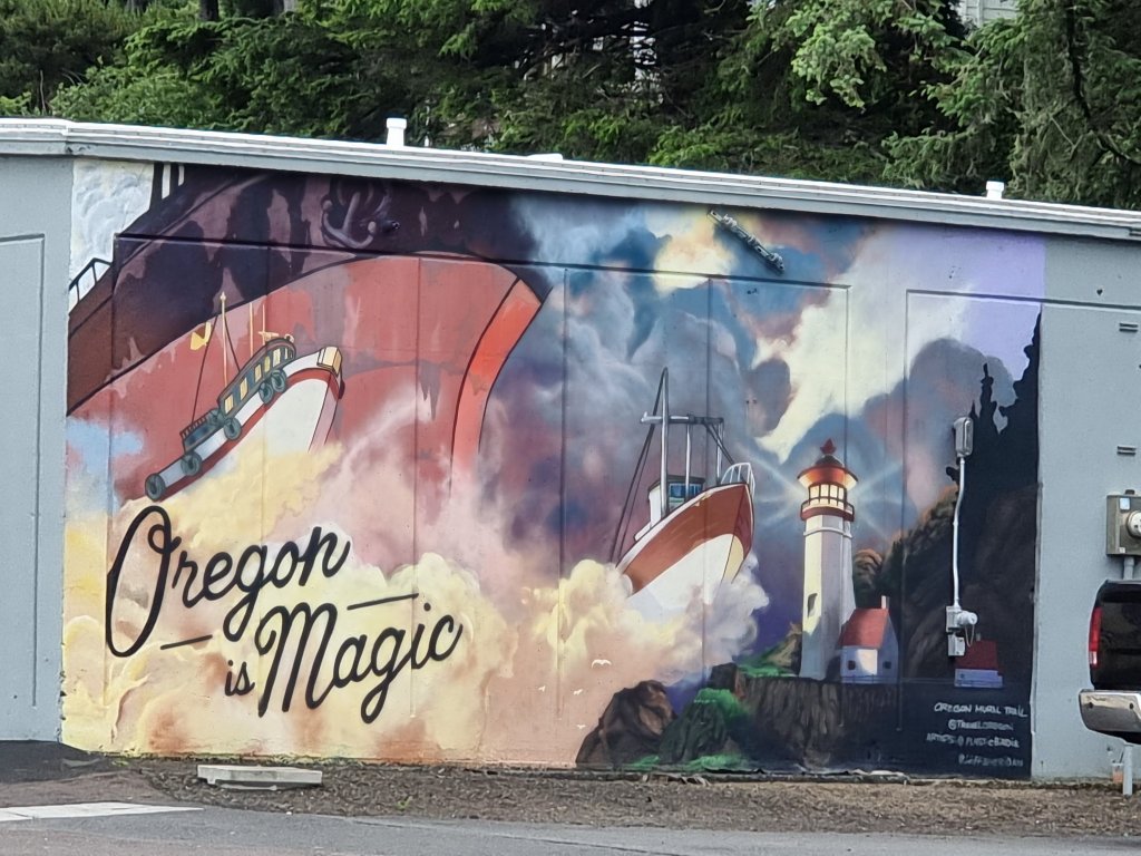
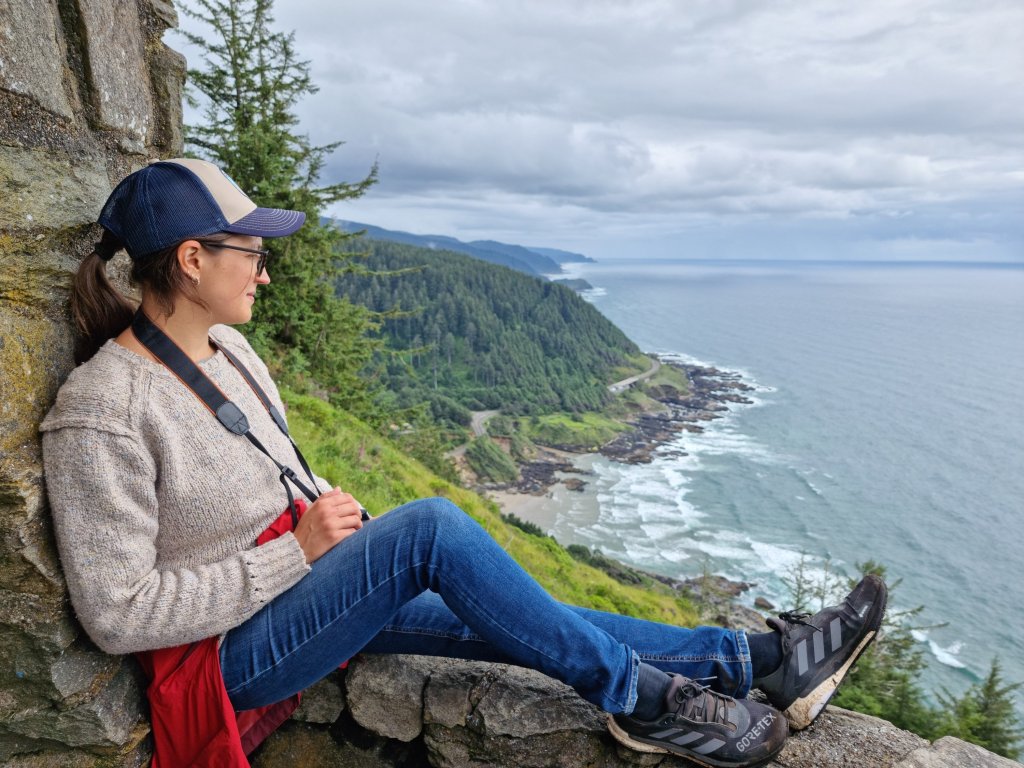
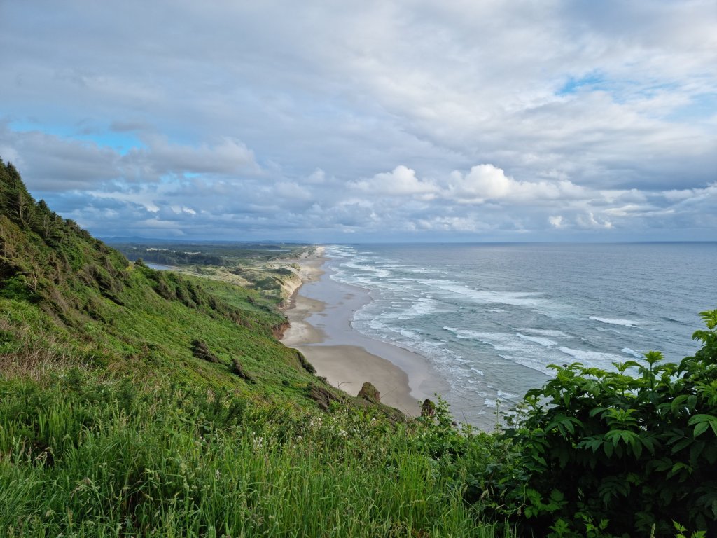
Beautiful Oregon Coast 😻

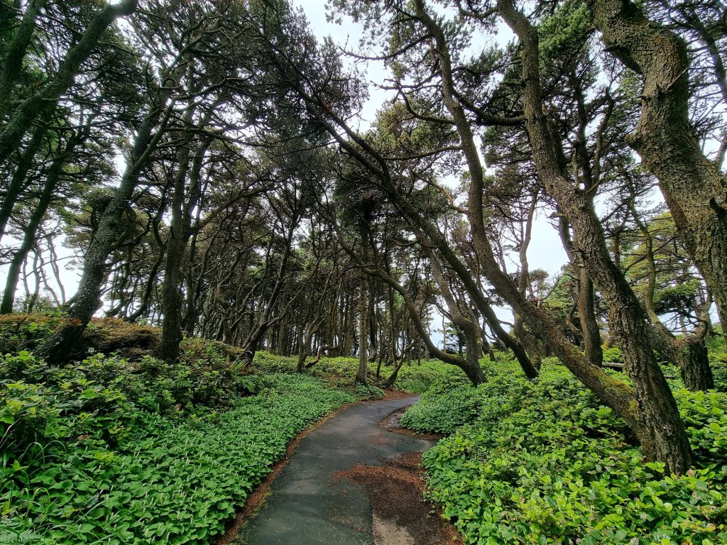
We were lucky enough to catch the last spot of the small but charming Cape Blanco Campground. The surroundings look just like you’d imagine they’d look like in fairytales.

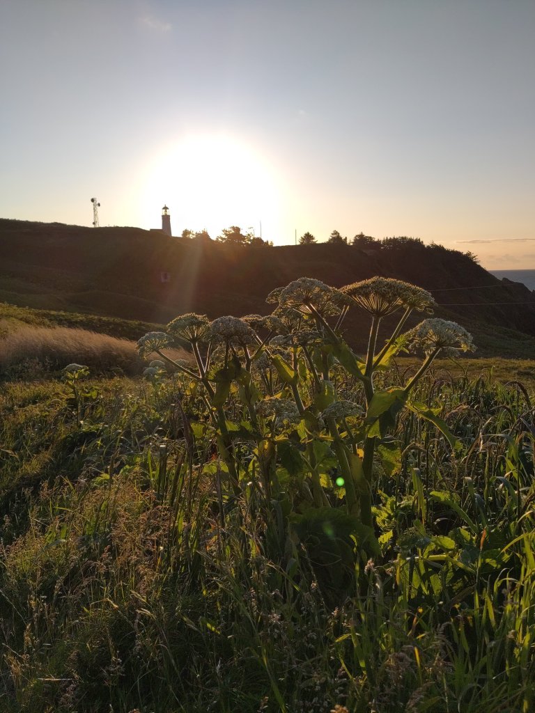
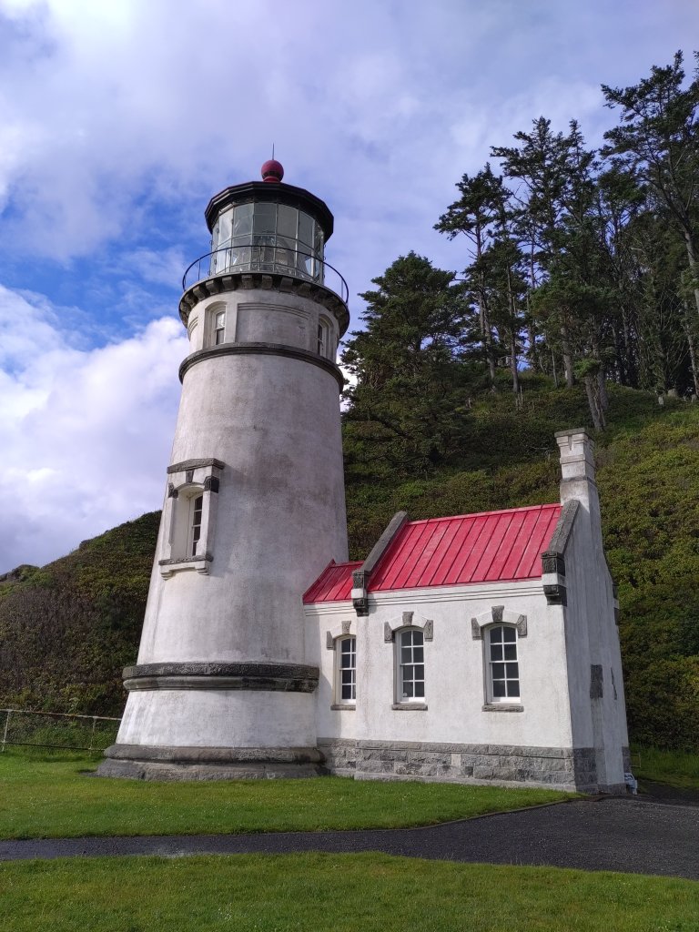
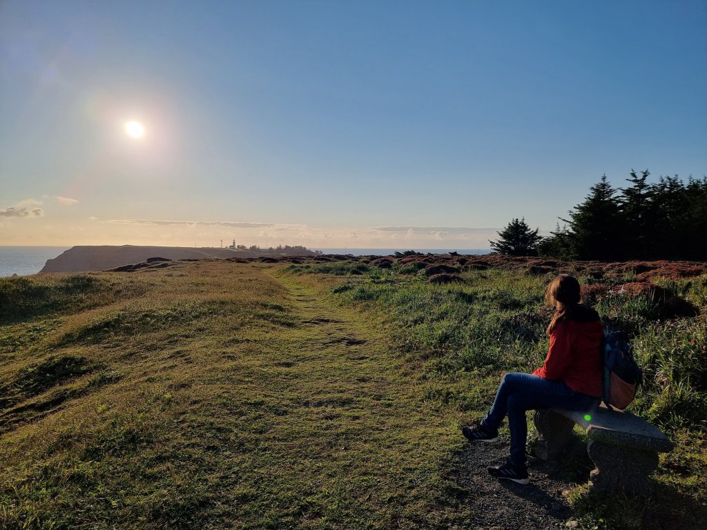
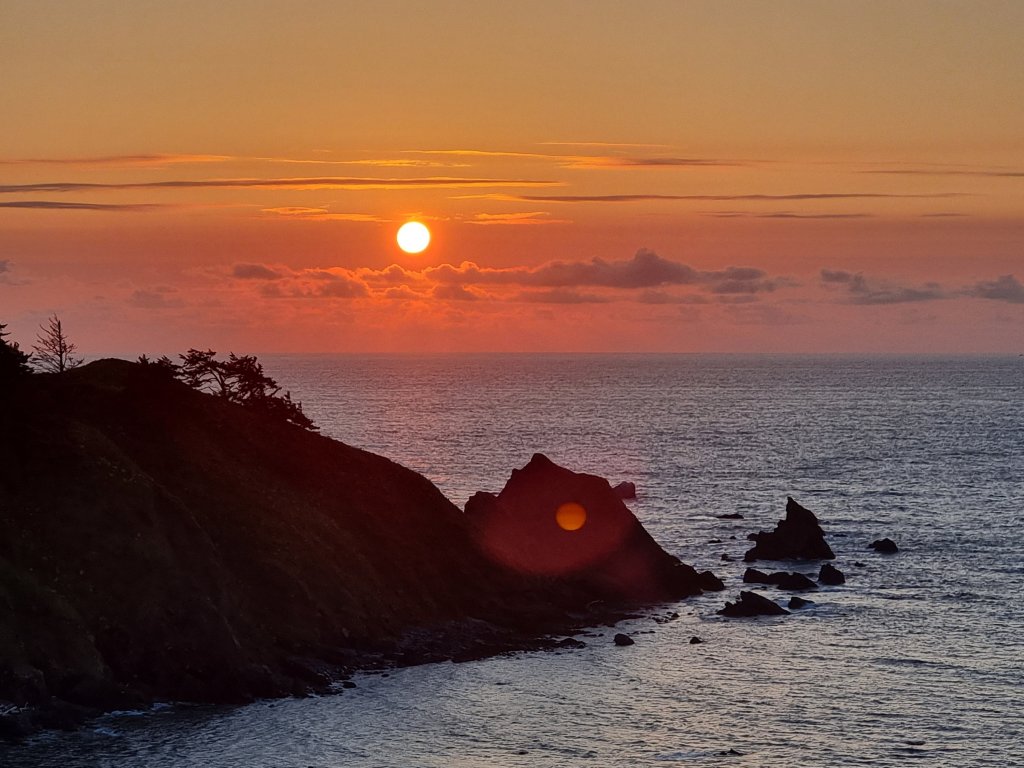
Living up to our new motto “chasing sunsets”, we took off in time to walk to the Cape Blanco Lighthouse.

Cape Blanco Lighthouse

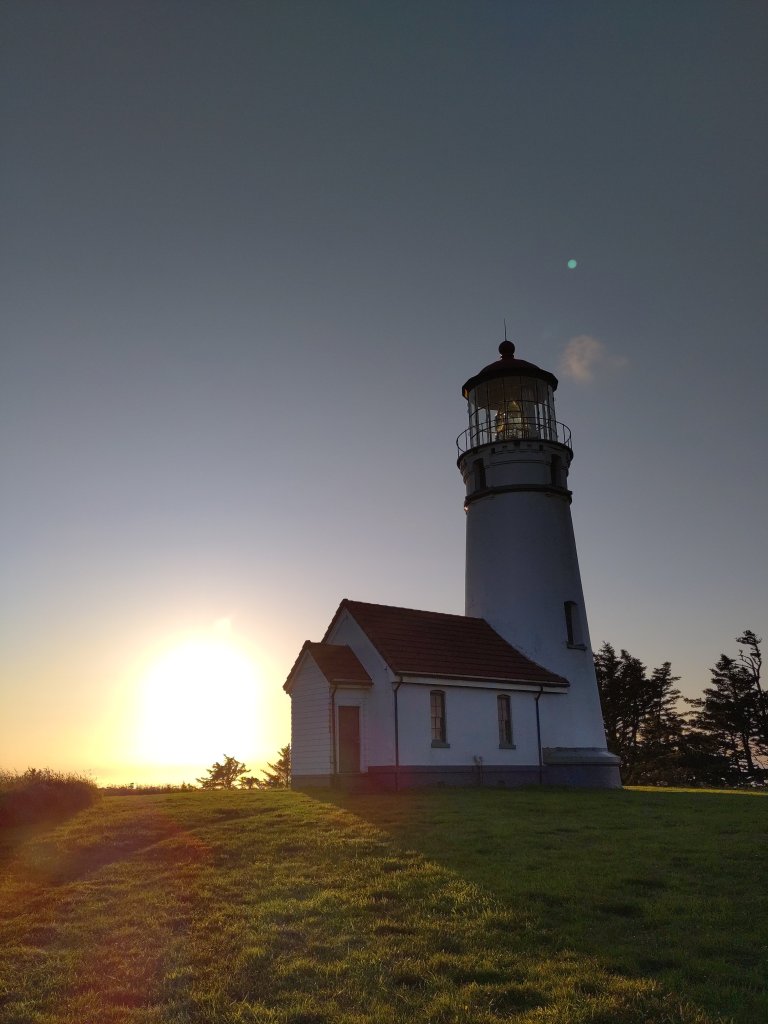
We were not disappointed ❣️🤩

🌅
Start of the Cape Sebastian Trail
Cape Sebastian Trail
Trees on rocks in the sea- something you don’t find very often😊

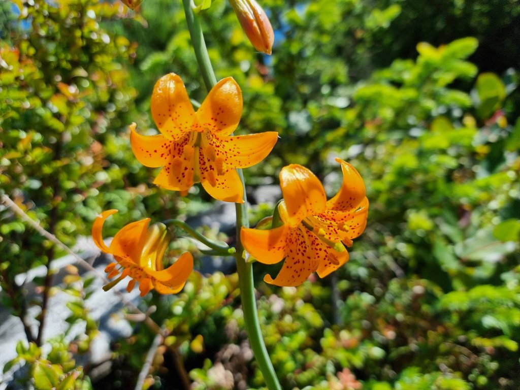
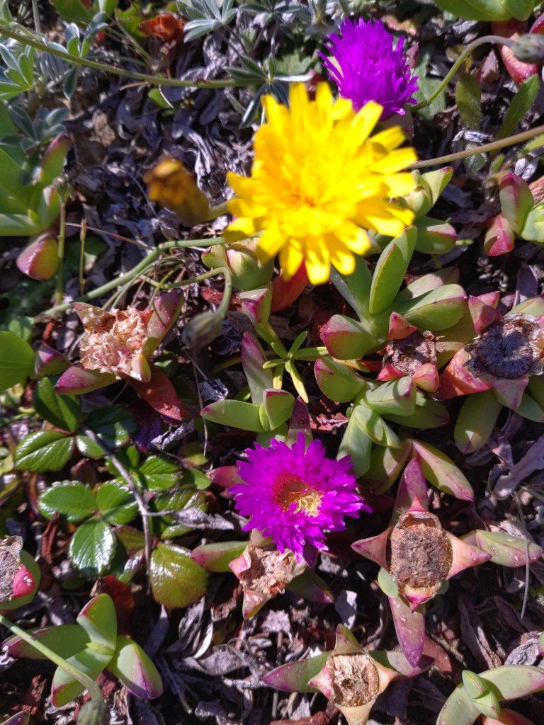
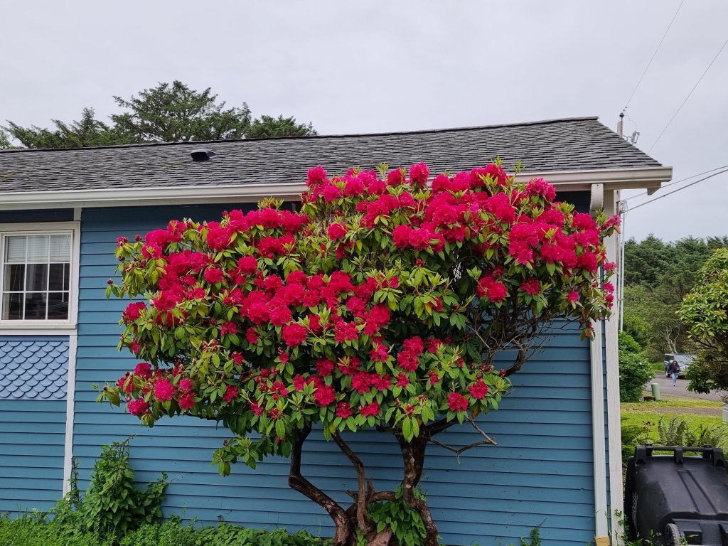
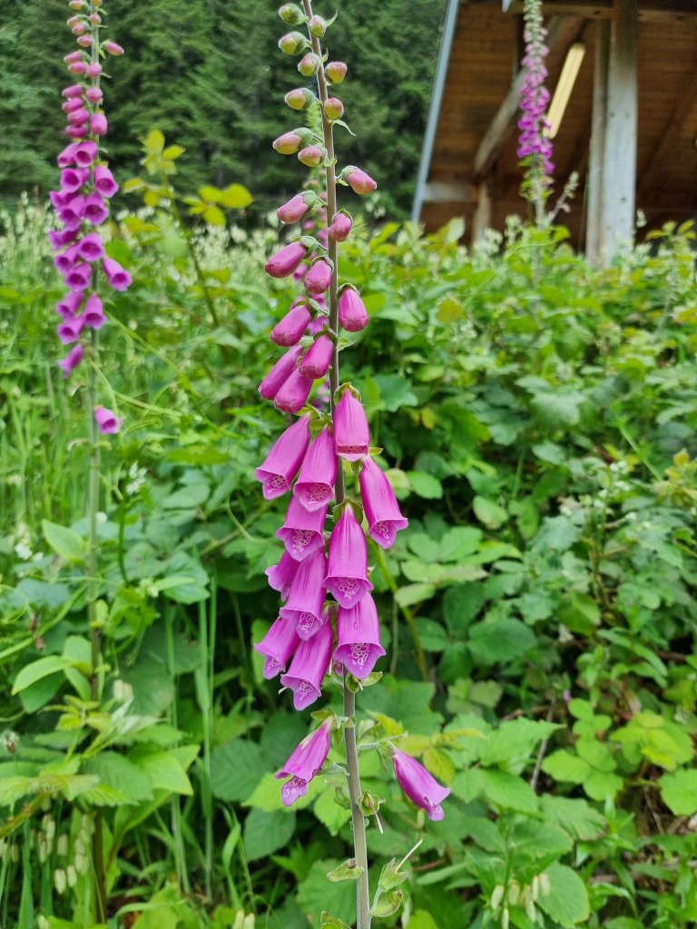
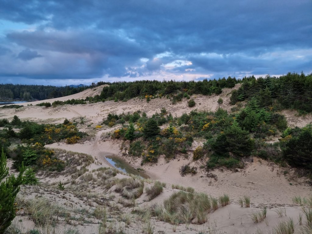
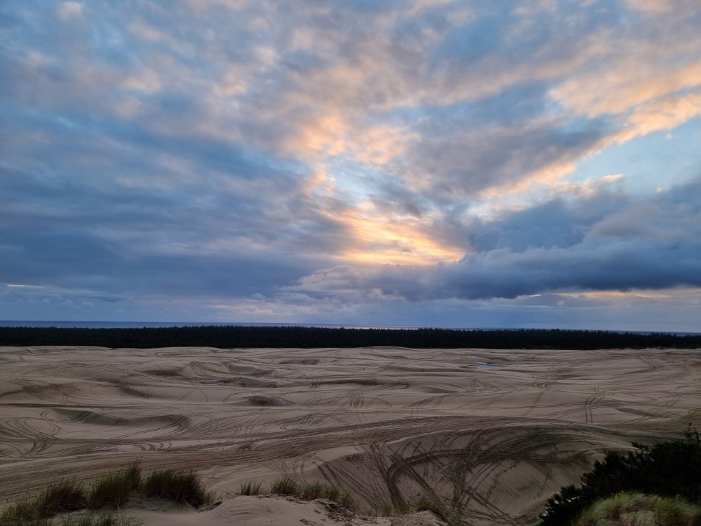
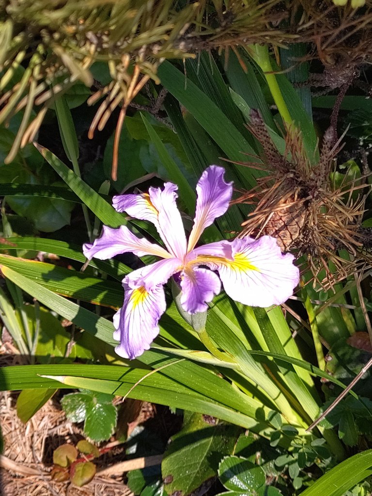
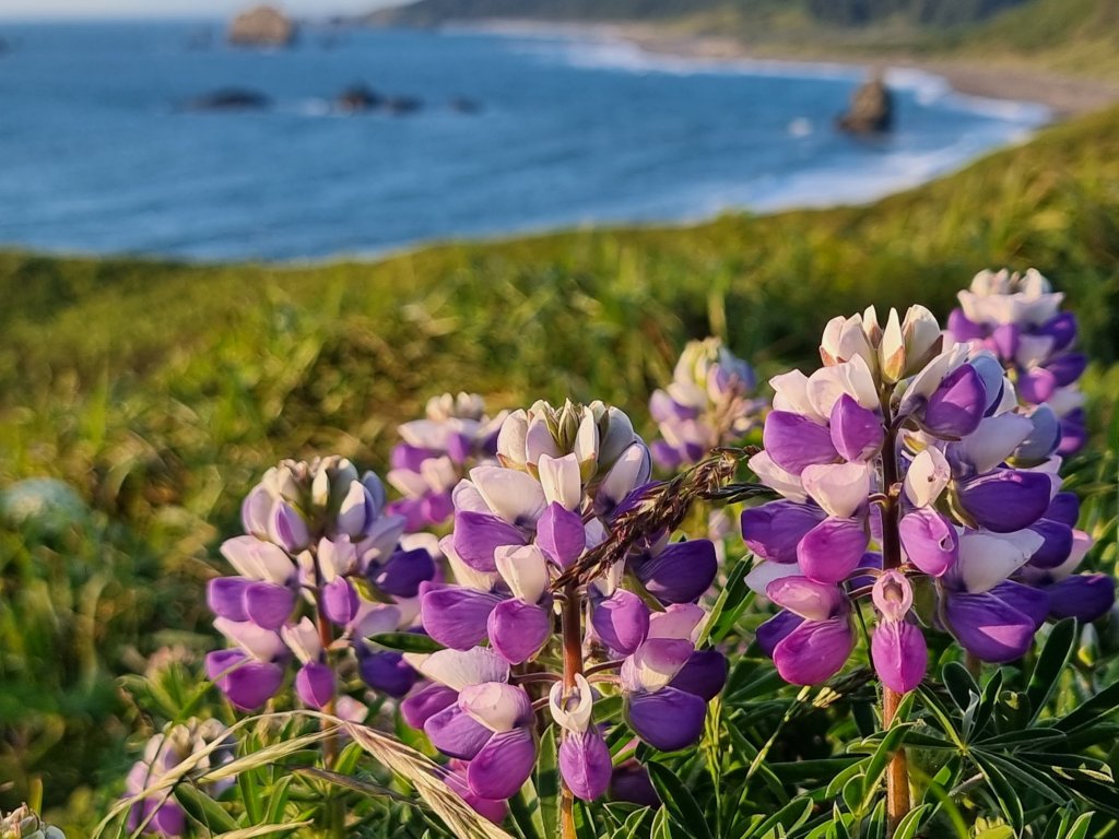
Unusual and unique flora and fauna…

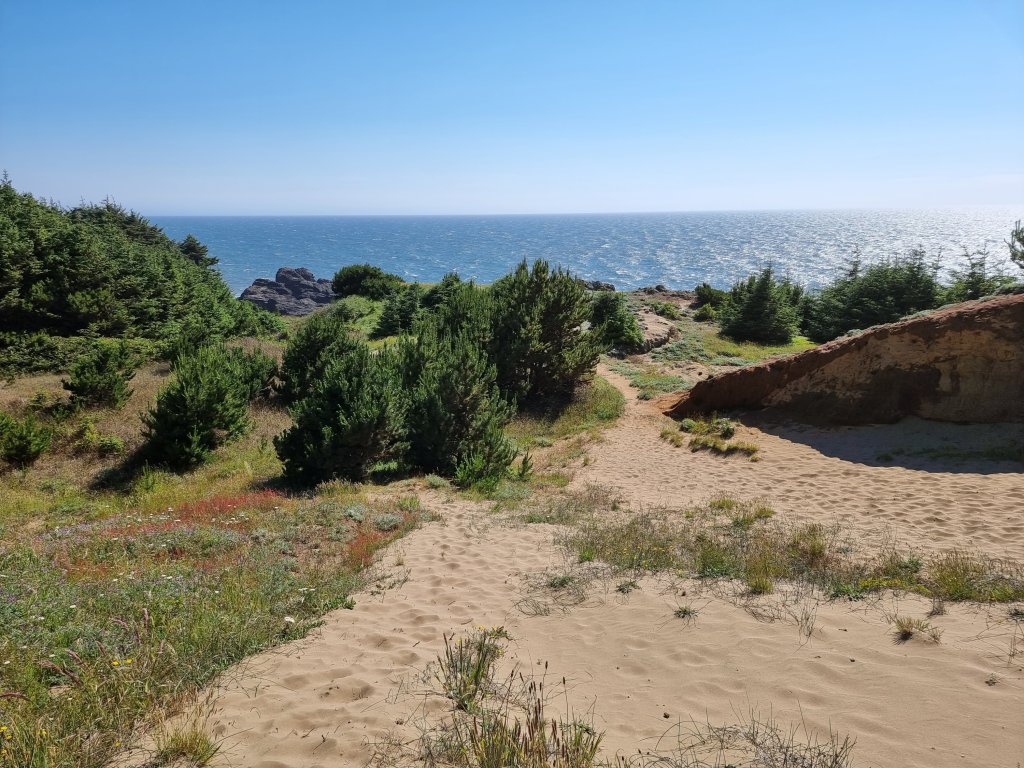
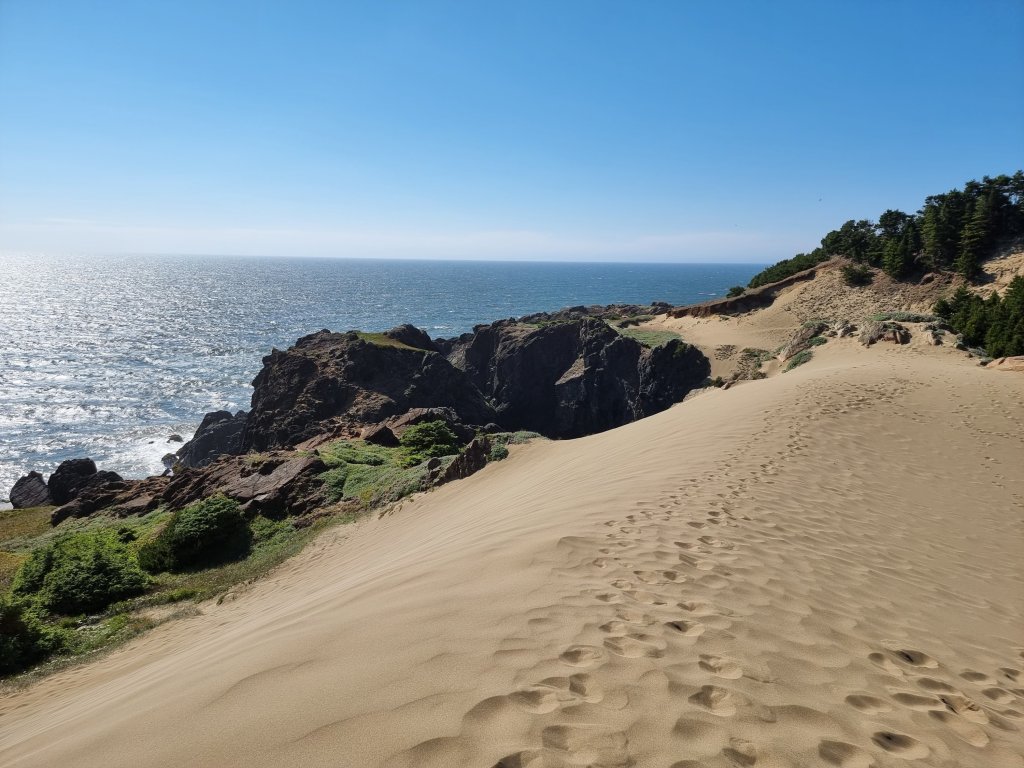
… including sand dunes.

B.E.A.U.T.I.F.U.L. ! ♥️

Oregon coast part II

We stopped in Yachats for lunch at the Green Salmon, and were surprised that vegan delicacies were served, amidst all the fish and seafood that predominates the culinary scene along the Oregon Coast. 😋

Yachats
Seal 🦭 Rock 🪨

Devils Churn is a narrow inlet of the Pacific Ocean in Lincoln County, Oregon, United States, south of Yachats. It is located in the Siuslaw National Forest.

Devils Churn 😈

The inlet developed over many thousands of years as wave action carved into the basalt shoreline, first forming a deep sea cave whose roof eventually collapsed. As the tide comes in it can throw spray several hundred feet into the air when the waves reach the end of the churn.

Travelling further south along the 101 we soon came across the next devilish natural sight: Thor’s Well.

Thor’s Well

Thor’s Well is an old sea cave that has collapsed, creating almost a “drainage pipe” to the ocean. It’s a seemingly bottomless hole that thrashes and sprays water as the waves crash in and out.

According to some researchers, the Well probably started out as a sea cave dug out by the waves, before the roof eventually collapsed and created openings at the bottom and top through which the ocean sprays.

A short but steep trail lead us to the Cape Perpetua Overlook, the highest viewpoint on the Oregon Coast. On clear days views extend nearly 70 miles of coastline. Impressive 😲

Heceta Head Lighthouse

Beautiful coastline near Florence with its lush fauna.

Staying at the Jessie M. Honeyman Memorial State Park, we enjoyed a sunset walk to the sand dunes before dinner.

Sand Dunes

The dunes in the Florence and Coos Bay area are mostly open to ATV (all terrain vehicle) use. Coming from central European countries, the use of quads to race around in the sand is quite unusual ☺️

Design a site like this with WordPress.com
Get started