Lassen Volcanic National Park is an American national park in northeastern California
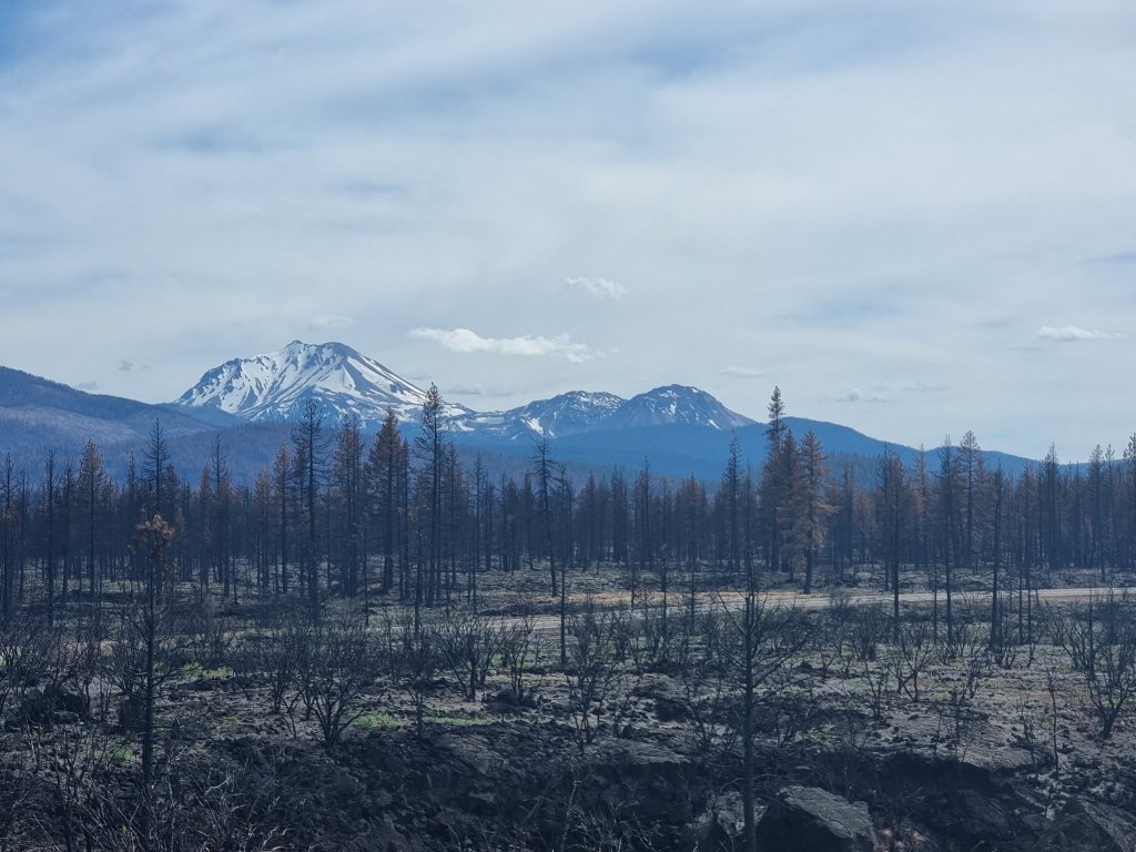
In 2021, the Dixie Fire burned large portions of the National Park, becoming the largest wildfire in the park’s history.
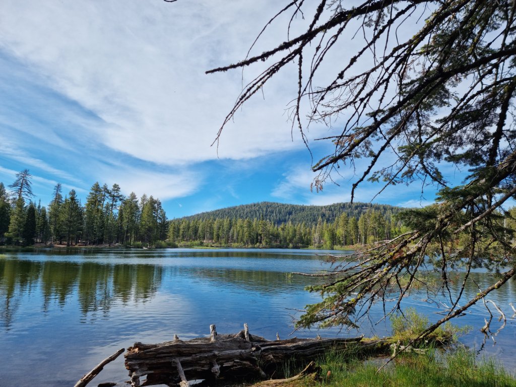
We stayed at the Manzanita Lake campground, which, surprisingly, is right next to the Manzanita Lake 😁
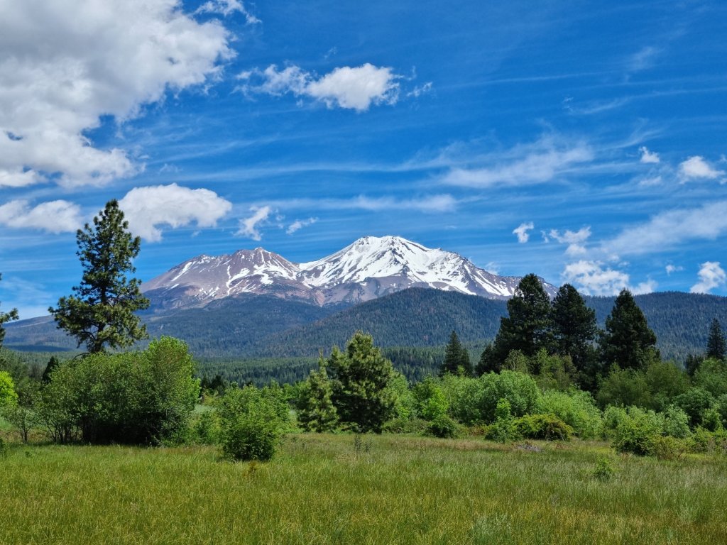
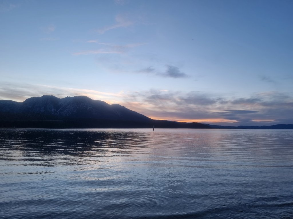
Upon arrival we immediately walked around this beautiful lake and enjoyed the awesome views of the surrounding mountains ⛰️
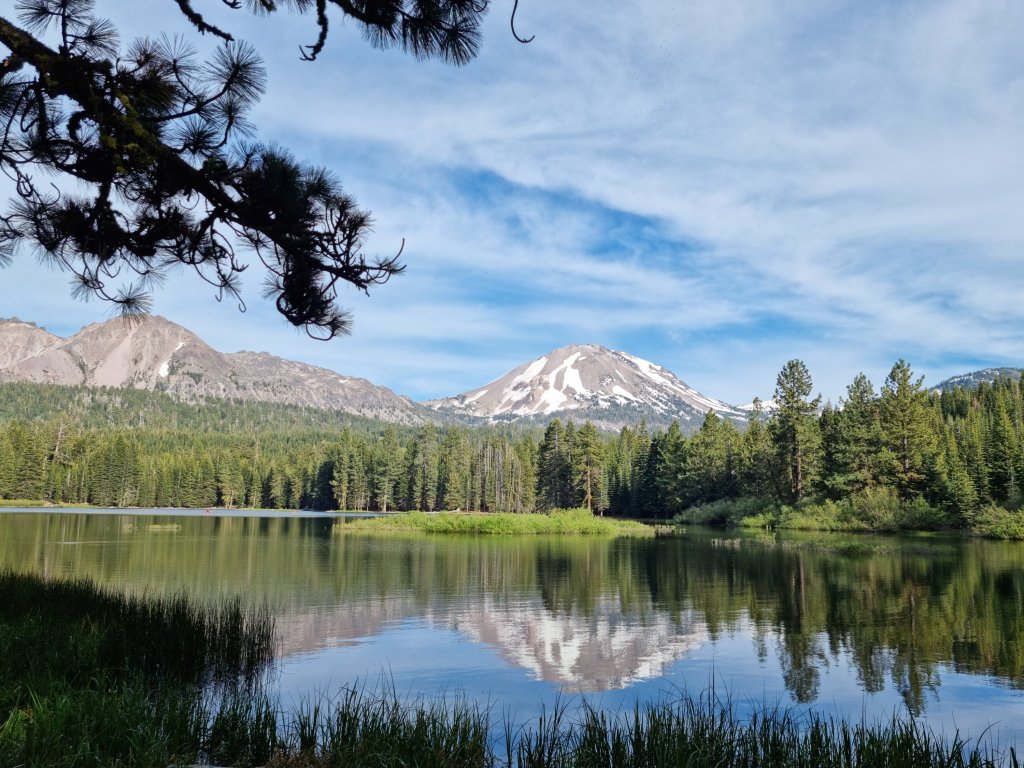
The dominant feature of the park is Lassen Peak, the largest plug dome volcano in the world and the southernmost volcano in the Cascade Range.
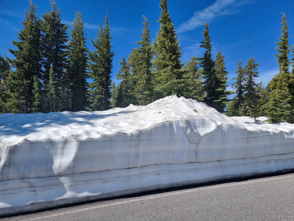
The following day we couldn’t wait to hike Lassen Peak! Getting there, the snow on either side of the road was piling up higher and higher the closer we got to the trailhead 😯💙
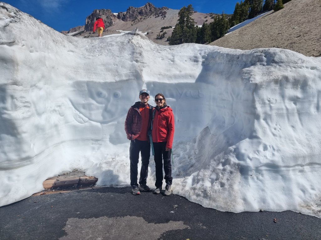
At the trailhead we saw that there’s a lot of snow but at the same time most of the trail seemed to be snow -free. 👌
Well, MOST of the trail 😂…
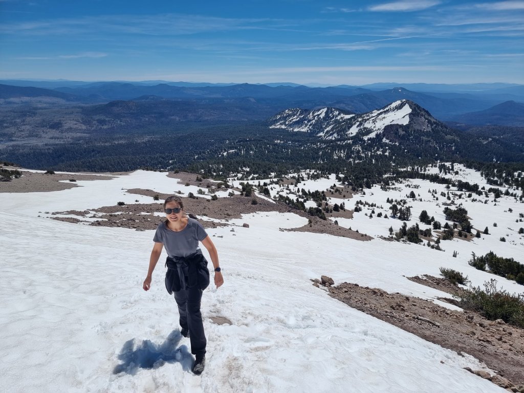

The Lassen Peak Trail, which starts at 2600 m, runs for 4 km with switchback turns and ascends about 610m to the summit at 3187 m. 😅
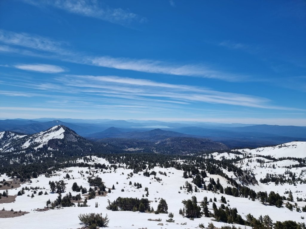
Never having hiked at high altitudes before, for the first time in my life I experienced the effects of the thinner air and I breathed noticeably even when walking at a rather slow and steady pace 😅
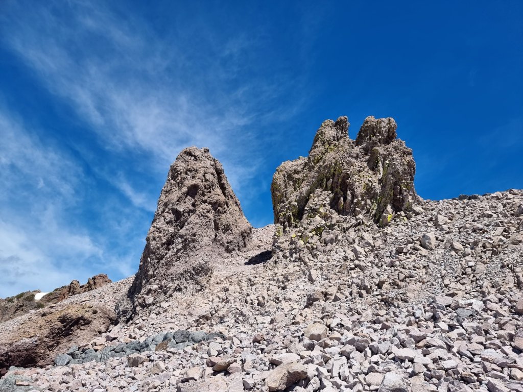
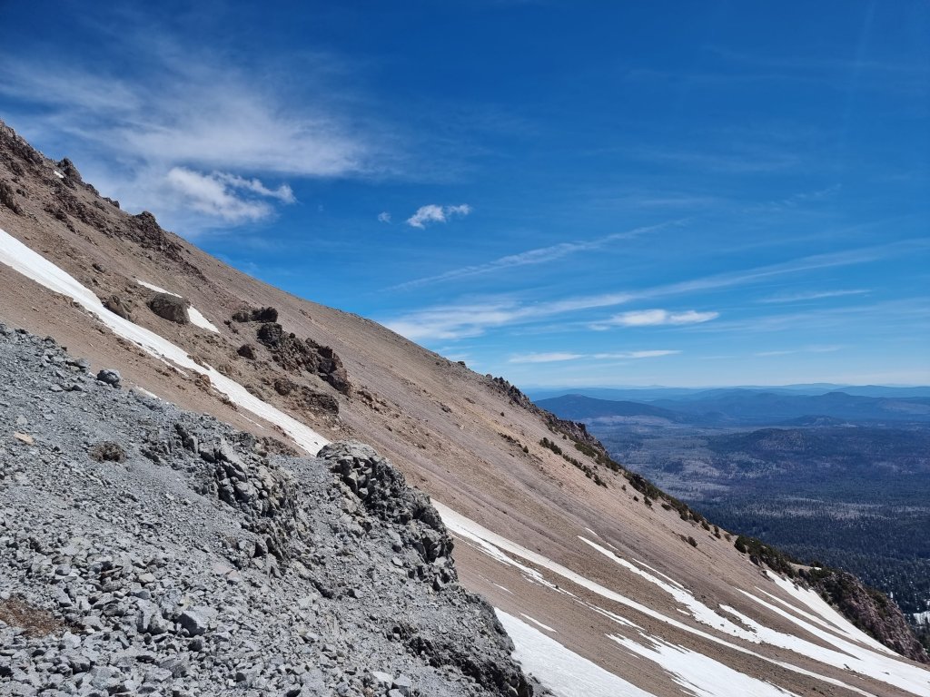
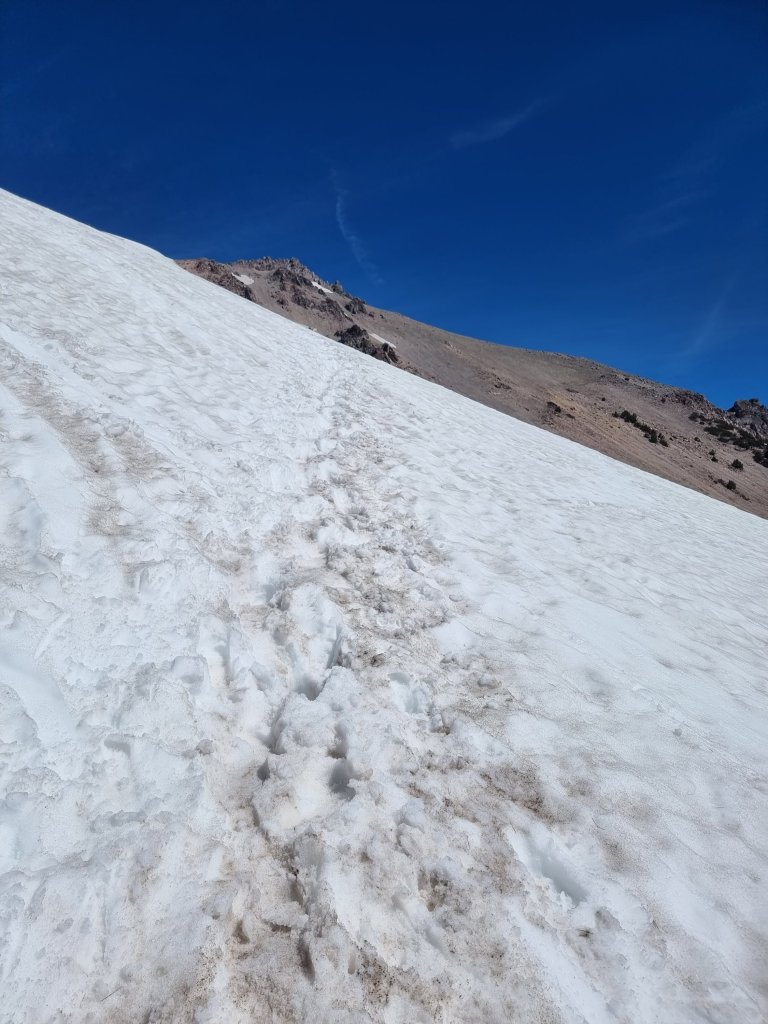
Having to march through slushy snow didn’t really help either 😂
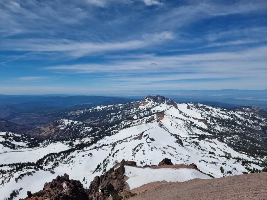
But the views were totally worth every step of it!
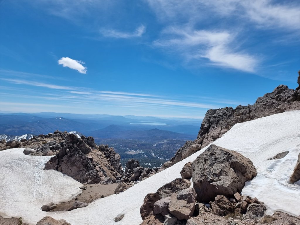
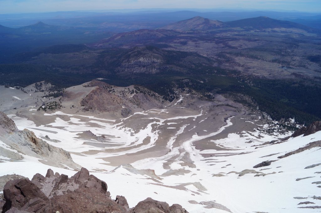
Starting in May 1914 and lasting until 1917, a series of minor to major eruptions occurred on Lassen. These events created a new crater, and released lava and a great deal of ash. Fortunately, because of warnings, no one was killed, but several houses along area creeks were destroyed.
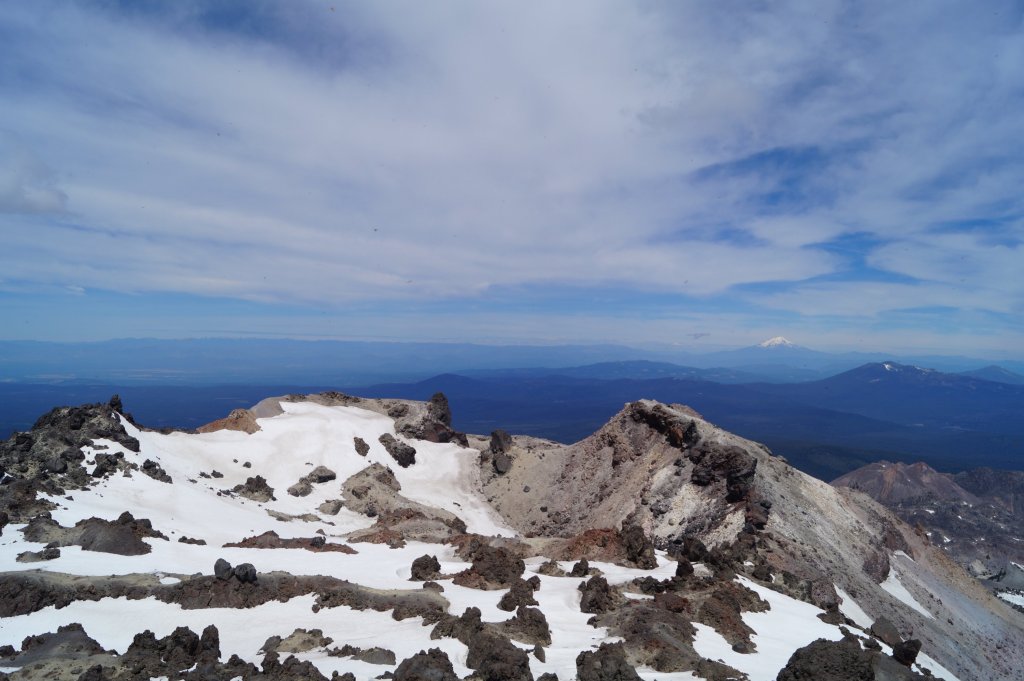
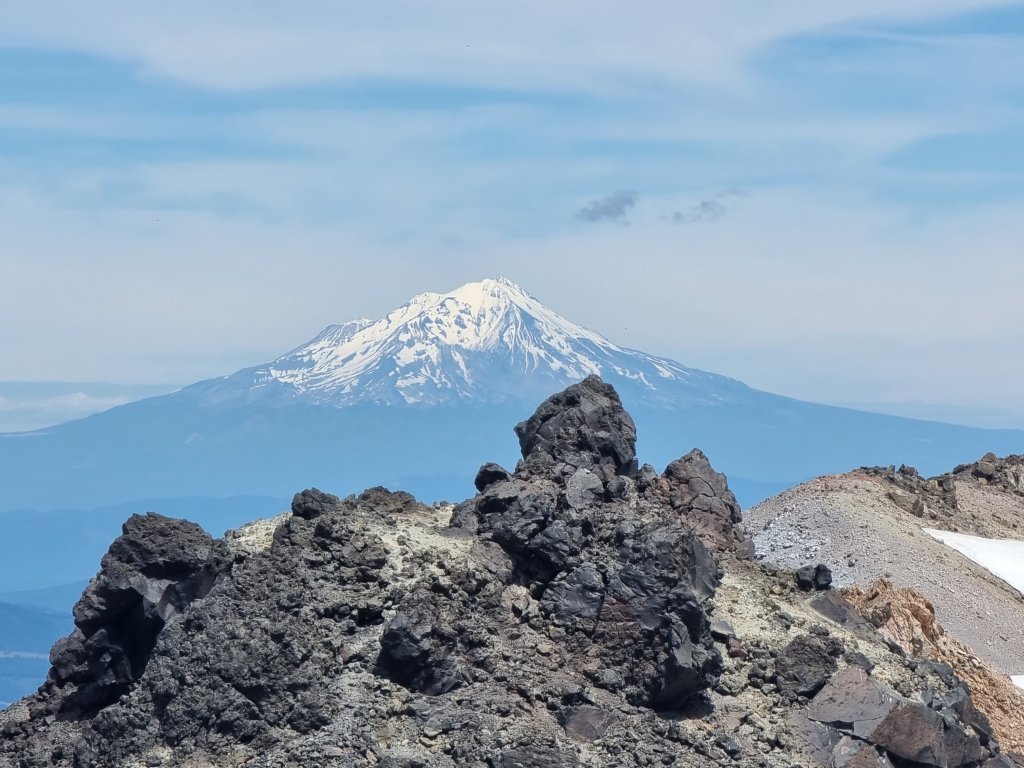
From the top you can also see Mount Shasta (4322m) in the distance.
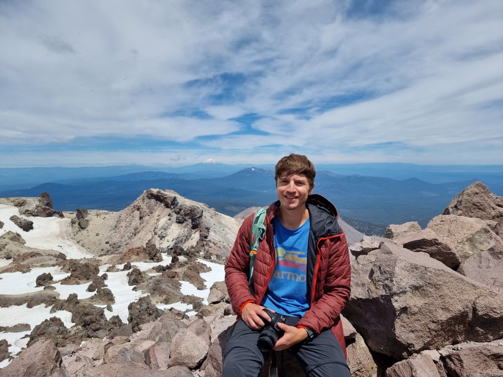
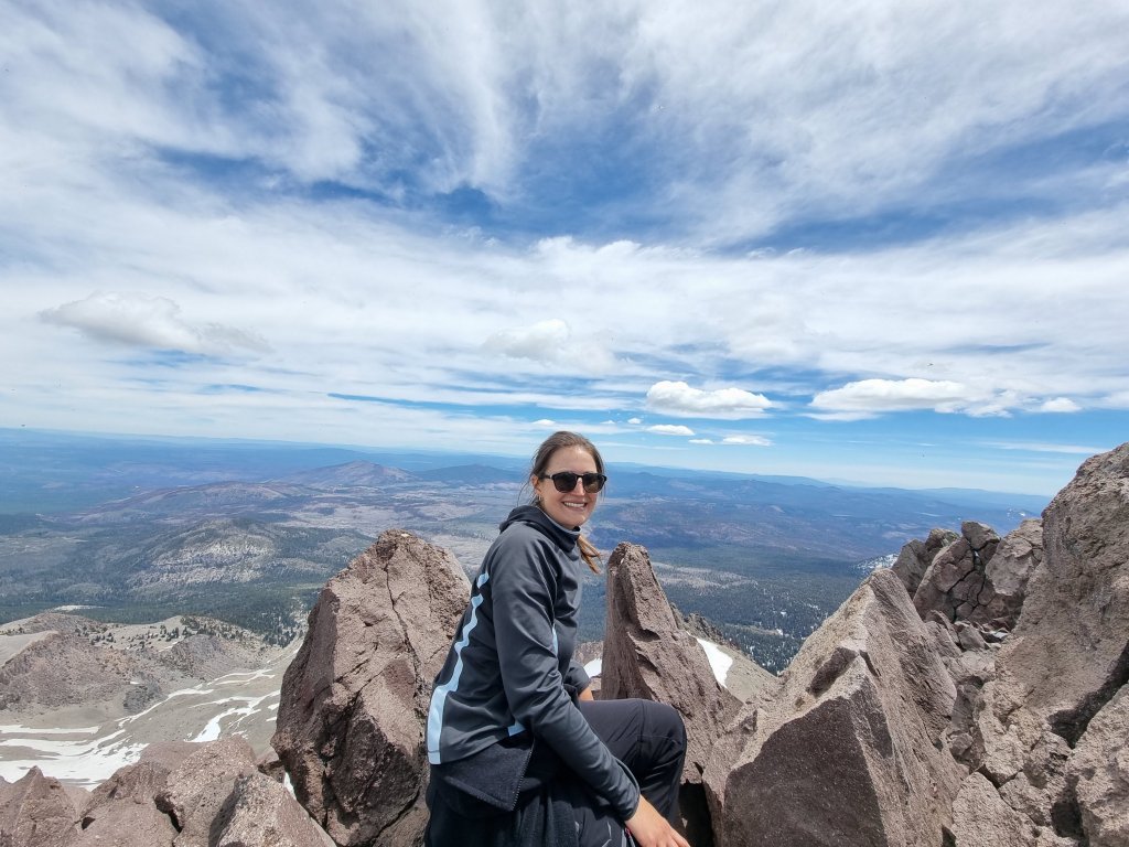
Lassen Peak is made of dacite,an igneous rock, and is one of the world’s largest plug dome volcanoes. The 10,457 ft (3,187 m) tall volcano sits on the north-east flank of the remains of Mount Tehama, a stratovolcano that was a thousand feet (305 m) higher than Lassen and 11 to 15 mi (18 to 24 km) wide at its base. After a series of eruptions, Tehama either collapsed into itself and formed a two-mile (3.2 km) wide caldera in the late Pleistocene or was simply eroded away with the help of acidic vapors that loosened and broke the rock, which was later carried away by glaciers.
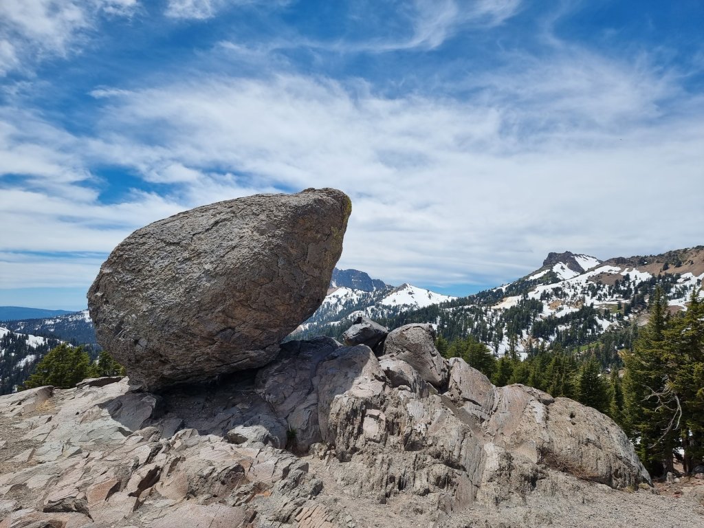
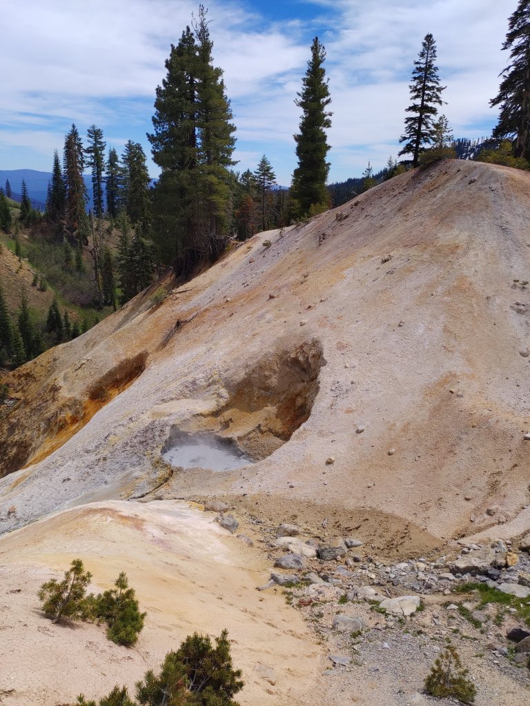
Sulphur Works is a geothermal area in between Lassen Peak and Brokeoff Mountain that is thought to mark an area near the center of Tehama’s now-gone cone.
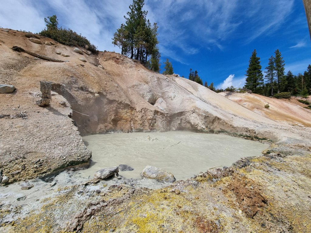
As the name suggests, it smells like rotten egg. Please excuse my zeal but I can’t help it. I must mention that it’s not the sulphur itself that smells like rotten egg but a molecule called hydrogen sulphide (H2S). Pure sulfur (cyclo-S8 or octasulfur), in contrast to common belief, is odourless. End of going off on a tangent.🤭
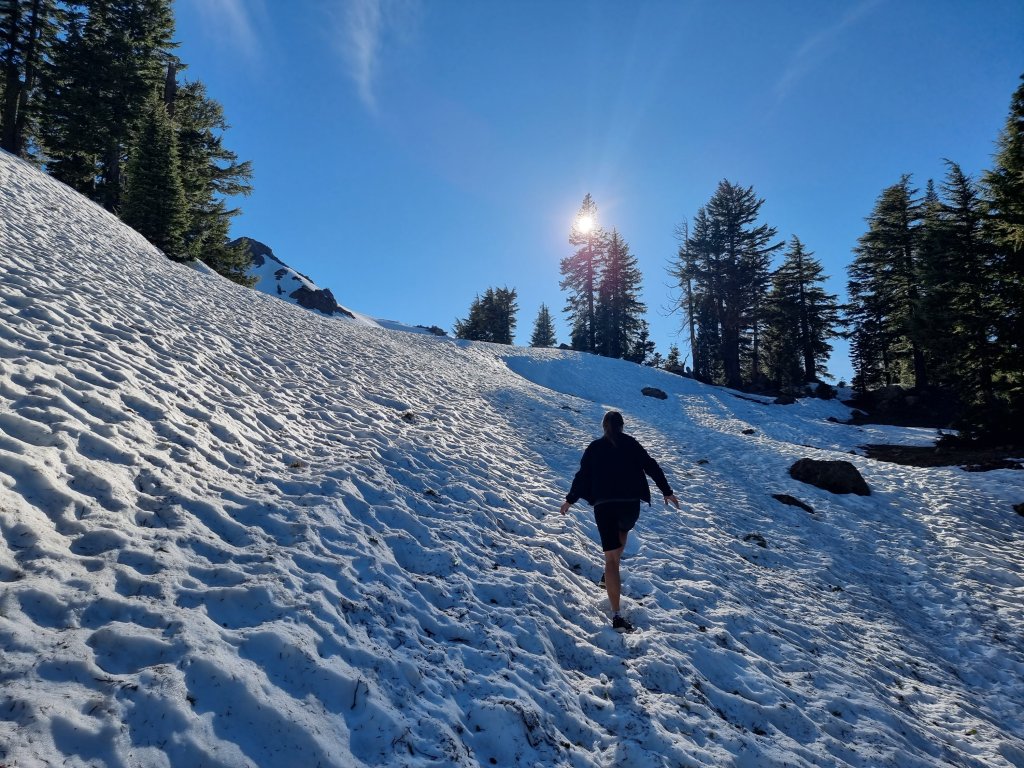
We wanted to finish the day with a mini 2km one way hike and thought there’d be no snow on such a minor trail. Little did we know that we would face even more snow than on Lassen Peak itself 🙈 Isn’t it ironic?!
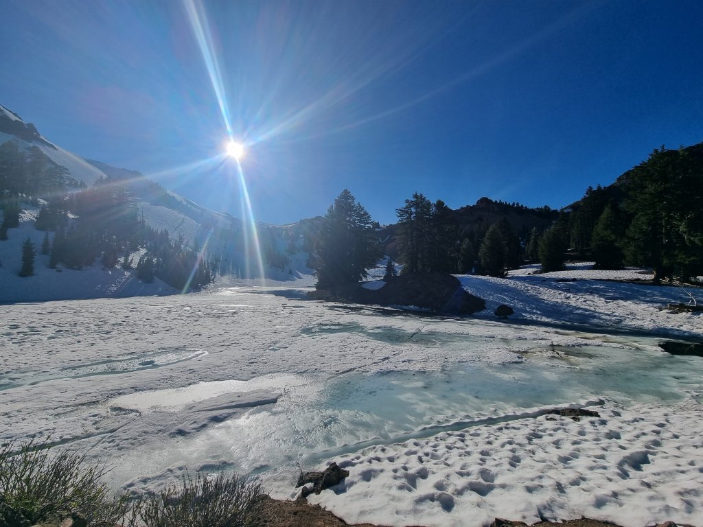
The reward wasn’t too bad, though.👌
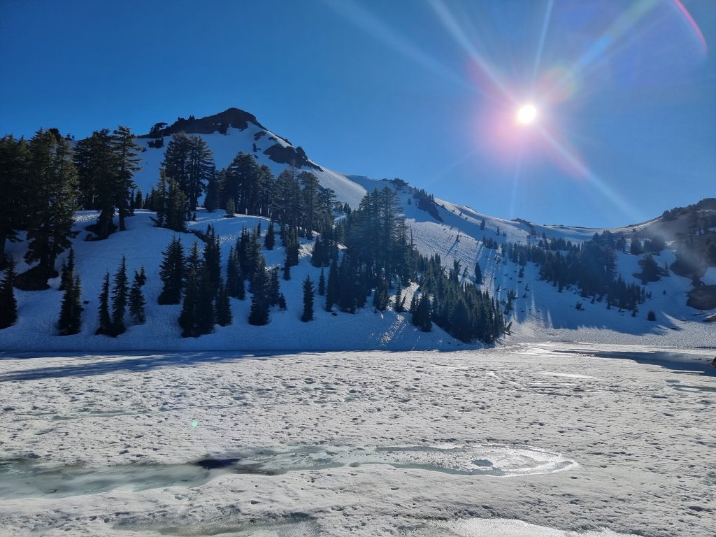
We also explored a lava tube called ‘Subway Cave ‘.
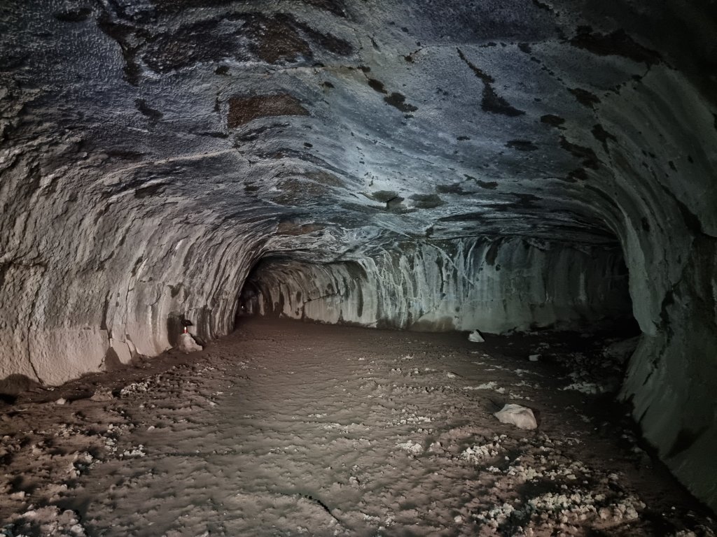
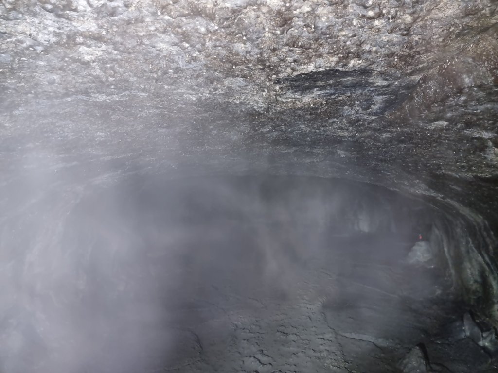
The trail is only 1/3 mile long but completely dark 👀
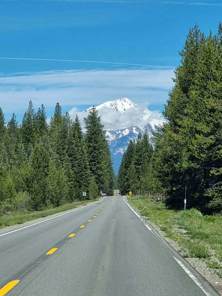
Chasing Mount Shasta 🤭
 Ines & Oliver on Tour